
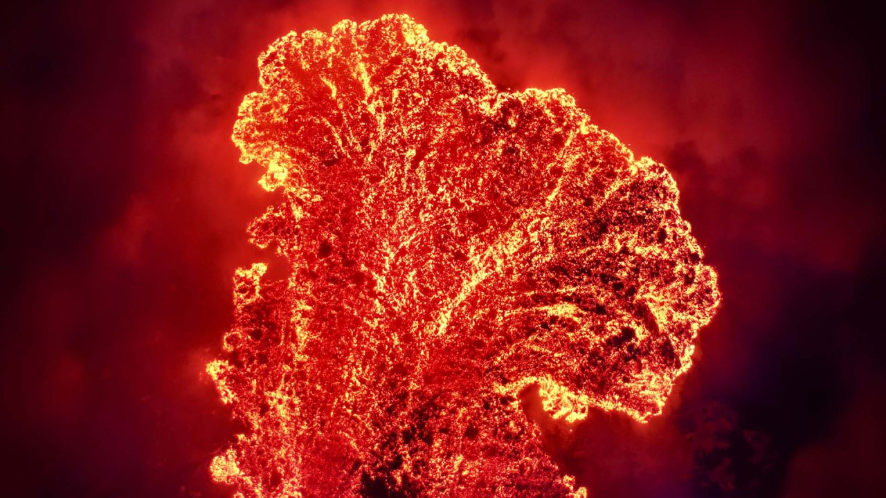
A few months ago we documented the major changes unfolding inside Manaro Voui’s caldera on Ambae Island, Vanuatu. Ambae’s summit caldera has always been defined by its lakes. That is no longer true.
Before the 2017–2018 eruptions, two main lakes sat within the caldera: Lake Gesa to the west and Lake Voui to the east. The two could hardly have been more different.
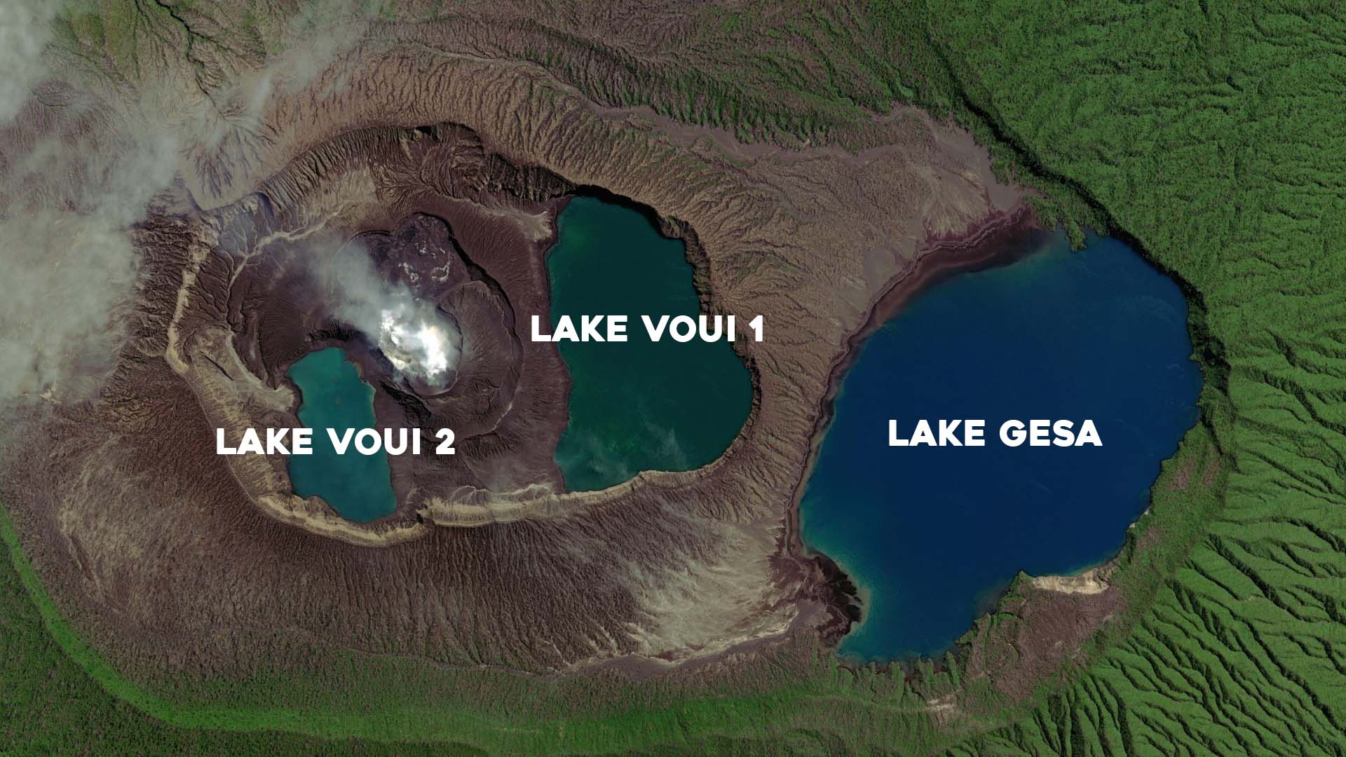
Gesa sits outside the inner vent path. It has a near-neutral pH, low dissolved metal concentrations and normal freshwater oxygen levels, enough to support the surrounding vegetation and microbial life.
Voui was the opposite. Highly acidic and heavily mineralised, it acted as a direct condenser for the volcanic gases rising out of the magma chamber below. Its colour shifted constantly, from turquoise blue-green to milky grey, and occasionally to a deep blood red when eruptive stirring or gas pulses oxidised the iron suspended in the water.
Ambae’s Lake Voui One and the central cone (October 2025)
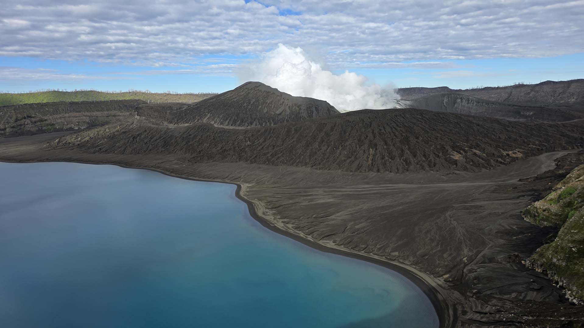
Neither lake was small. According to bathymetric mapping published in the Journal of Volcanology and Geothermal Research (Bani et al., 2009), Lake Voui held an estimated total water volume of 40 million cubic metres, with a depth of approximately 120 metres.
The 2017–2018 eruptions changed that. Those eruptions built a massive central cone inside the crater, and based on our analysis it evaporated and displaced around half of Voui’s original water volume. It also split what remained into two separate bodies of water, which is why we now talk about Lake Voui One and Lake Voui Two.
The current eruptive episode began with unrest through late November 2025 and a short ash-producing phase in early December. Activity intensified through January and February, and a lava flow emerged from the new cone inside the Voui crater in mid-February, throwing a glow bright enough to be seen from Maewo and Pentecost. The Vanuatu Geohazards Department raised the Volcanic Alert Level from 2 to 3 on 23 February 2026, and it has stayed there since, with a 3 km danger zone around the active vents.
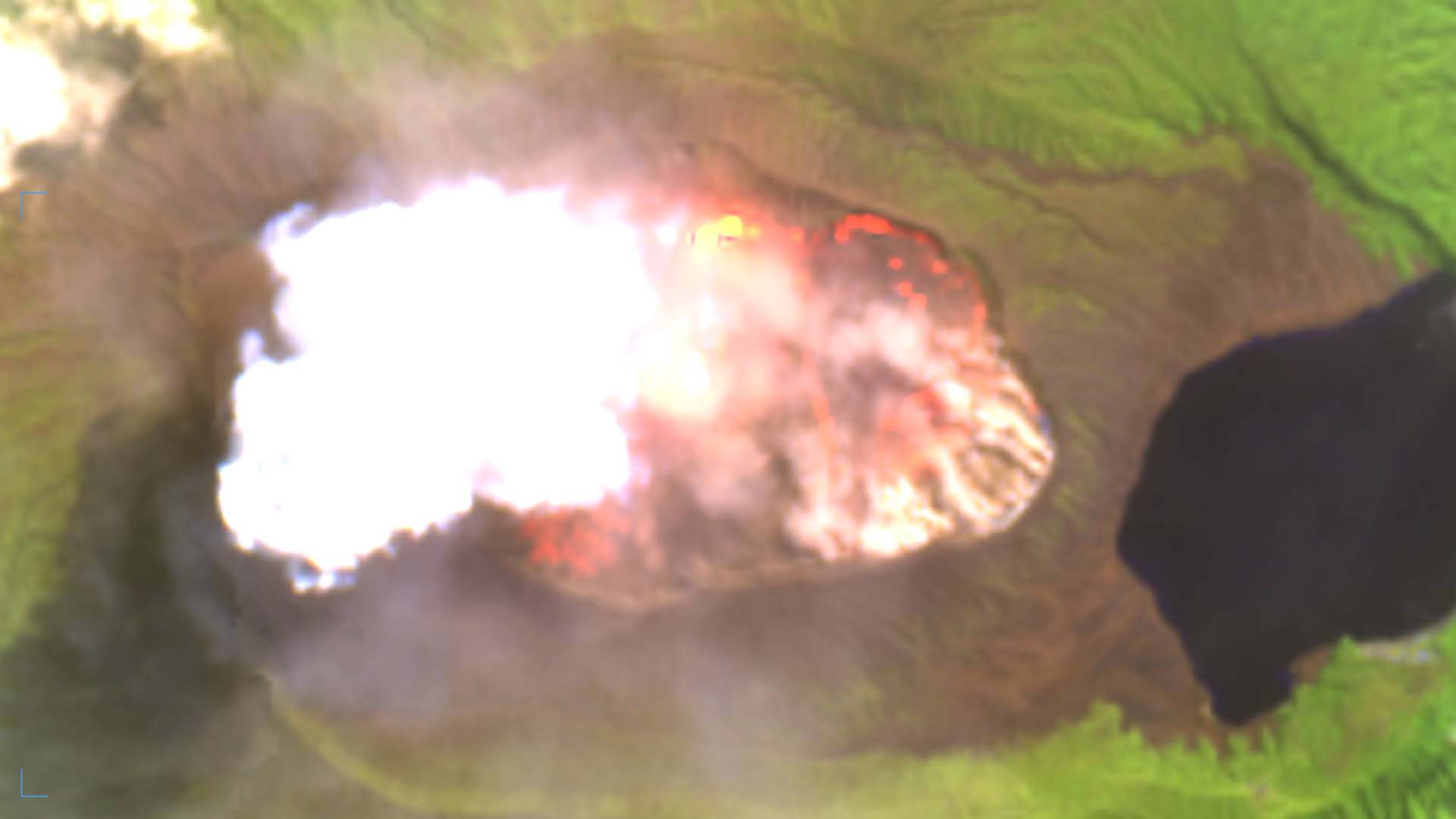
In March of this year, lava flows began boiling away Lake Voui Two. By May, satellite imagery appeared to show a much greater rate of effusion, and Lake Voui One boiled away as well. All up, we estimate around 20 million cubic metres of water was boiled off in under six weeks. That is roughly 8,000 Olympic swimming pools, gone in a month and a half.
Sentinel 2 False Colour – May 02, 2026: Lake Voui 1 is gone, with some evaporation still underway.
With formalities and permissions secured, we made our way up through the jungle to the rim of the caldera. Conditions were very challenging. Heavy rain and fog cut visibility down to about 30 metres, and we could hear a near-continuous thumping from the active vent somewhere out in the murk. After some time the weather cleared just enough to get the drone launched.
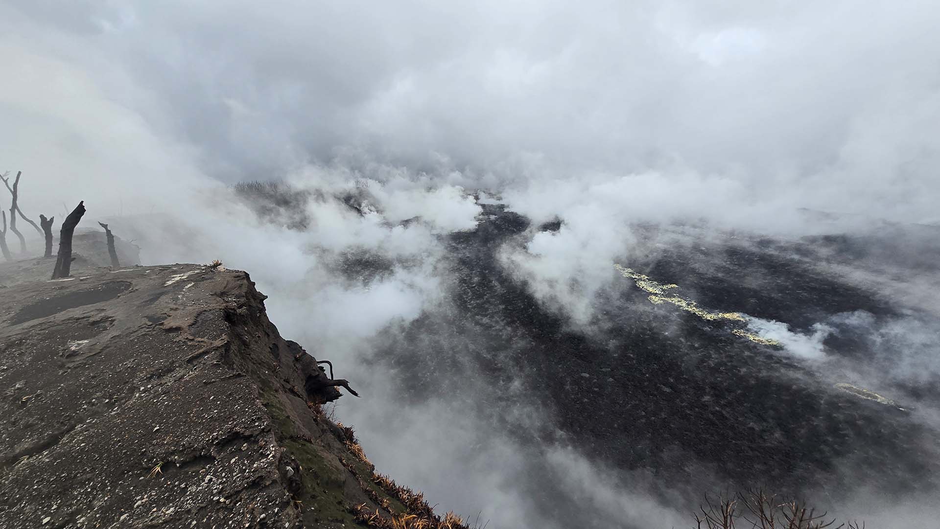
From the northern end of the crater, Lake Voui was gone. In its place was an extensive and still-flowing lava field, actively degassing, with multiple hydrothermal mineral deposits scattered across it and red, active flows still moving through it.
View of the new lava field, looking south
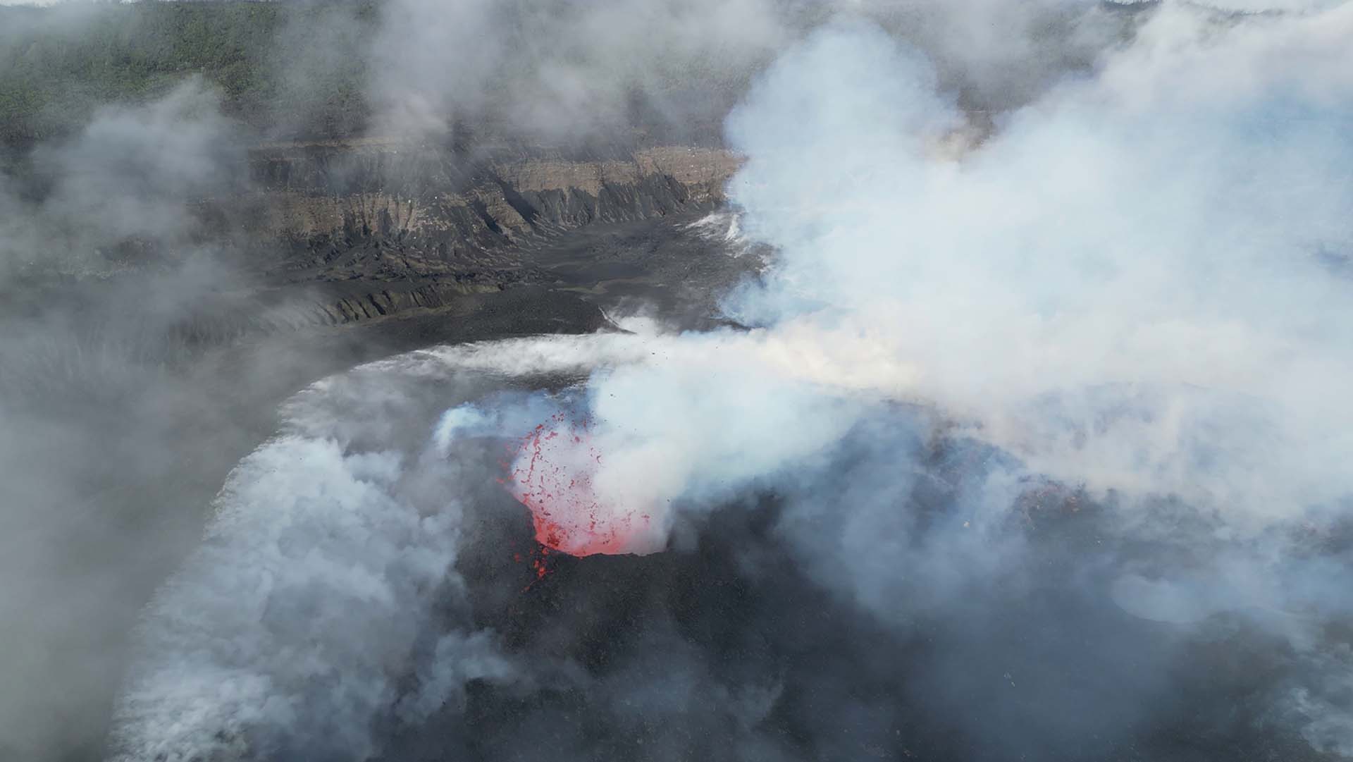
Clear view of the lava field and larger cone, with active fire fountaining.
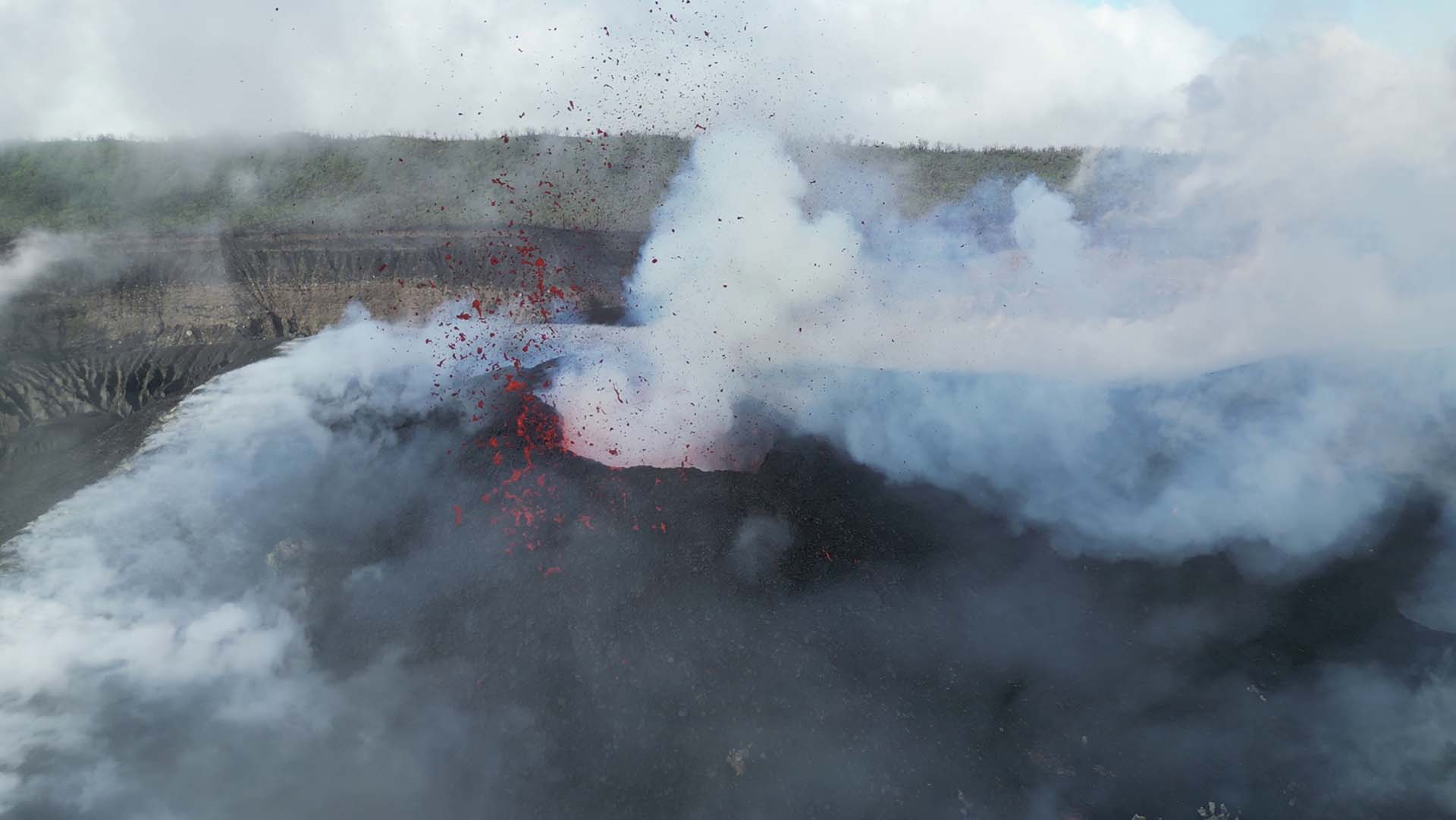
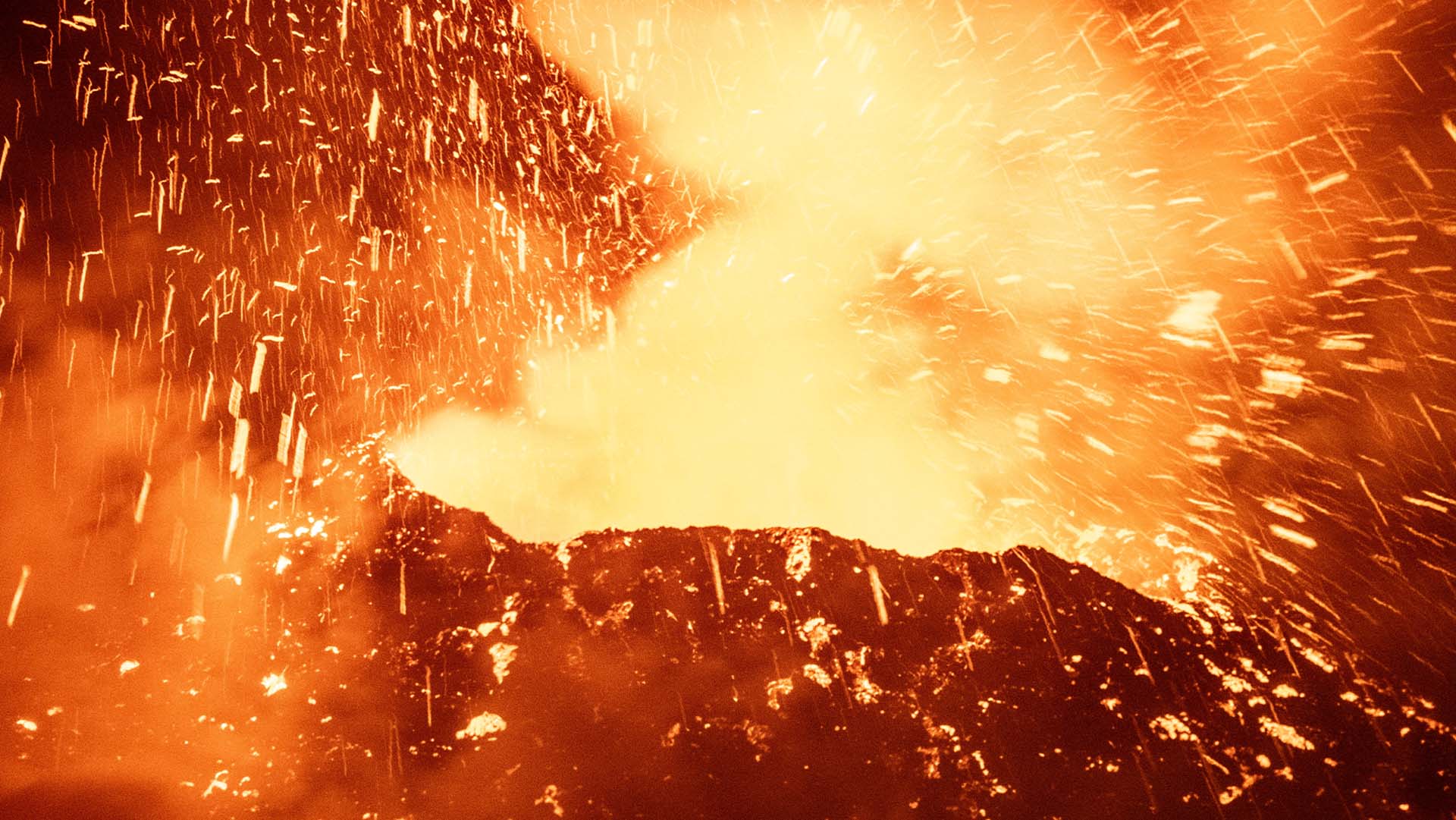
The central cone was extremely active. Multiple vents were producing a combination of continuous fire fountaining and Strombolian explosions, throwing projectiles to an estimated 500 metres. Lava effusion was high, feeding numerous clinkery flows that ran northeast, hit the crater wall and were redirected to the southwest. The noise was substantial, with regular visible shock waves coming off the vents, and SO2 output was high. By rough estimate the cone has grown by about a third in size and height since our last visit.
Main vent and temporary lava lake, spewing lava and building the cone higher.
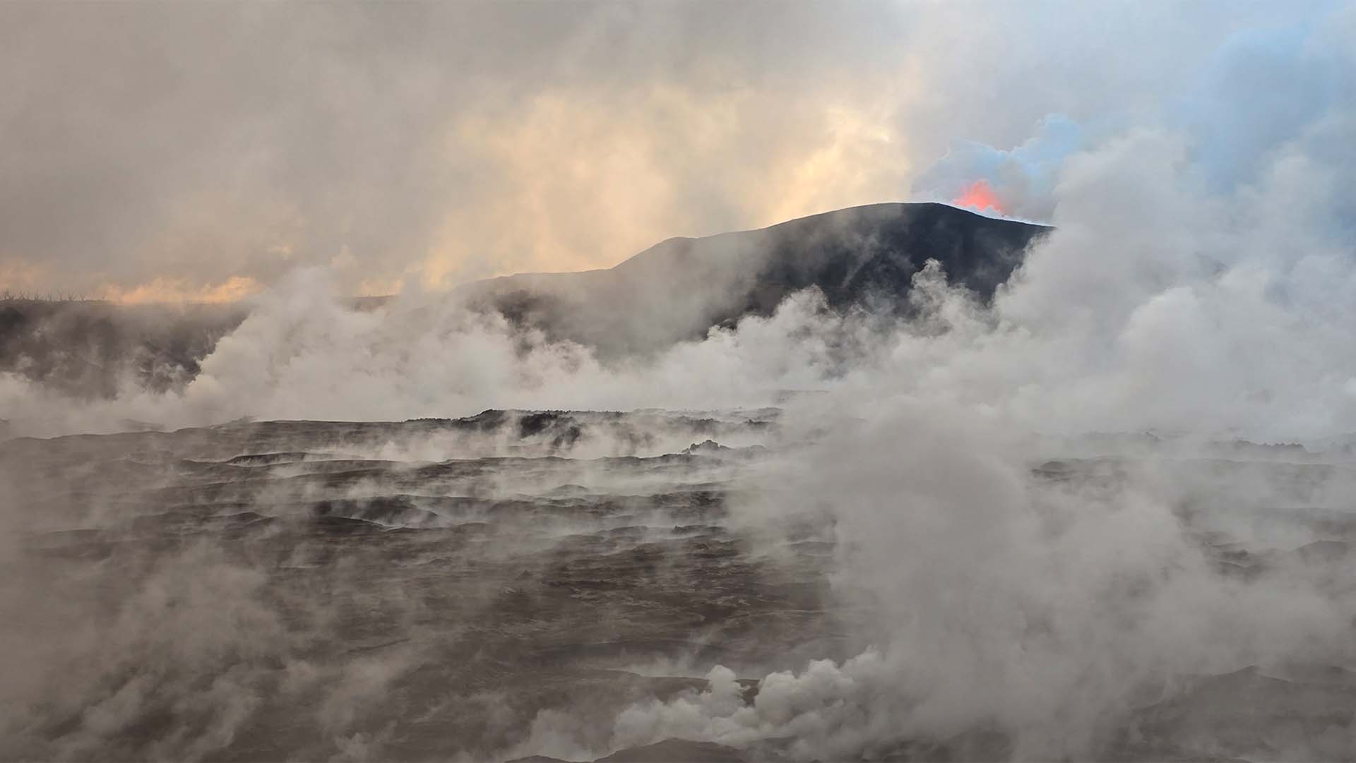
Orange glow, strong water vapour degassing
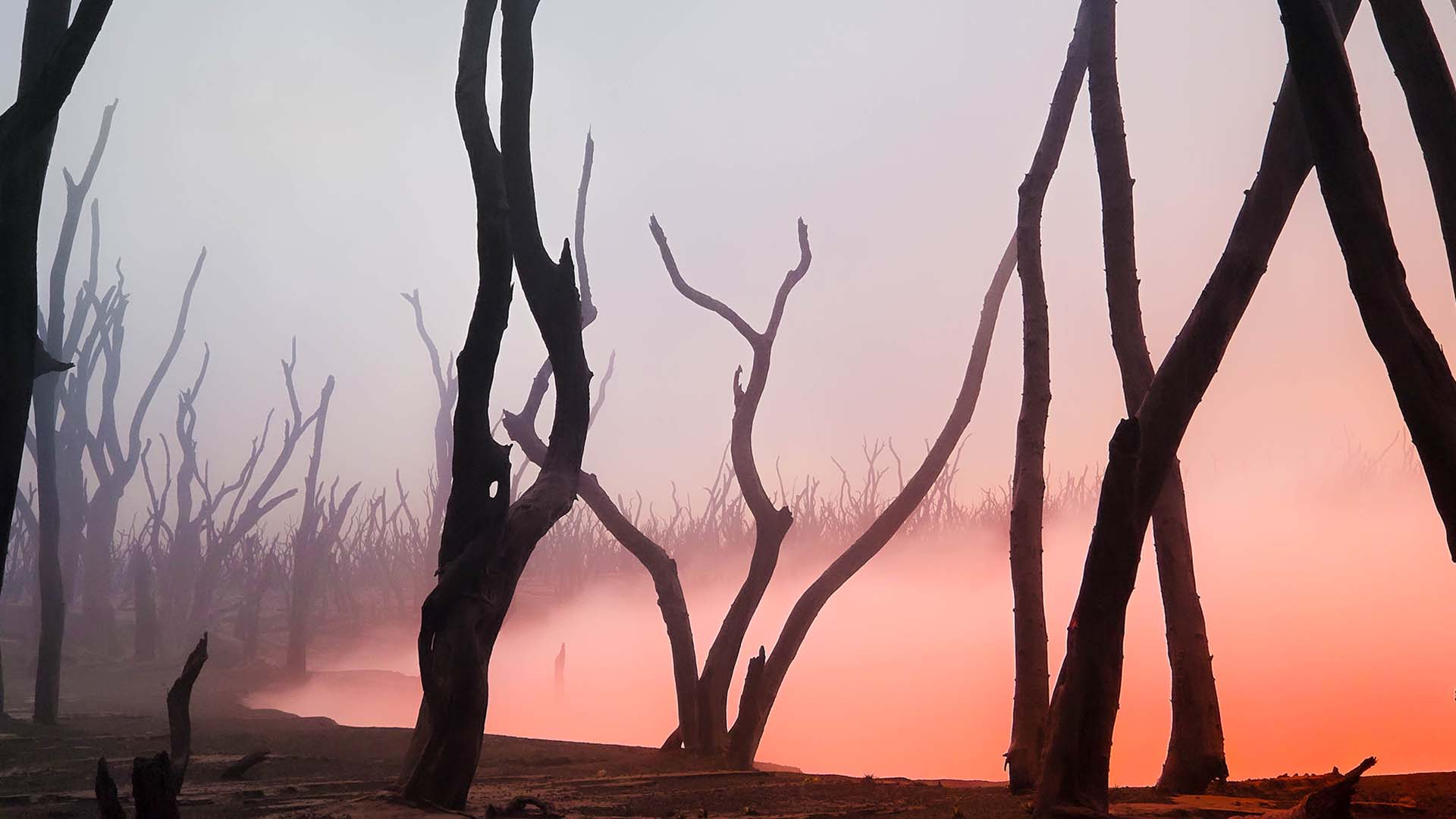
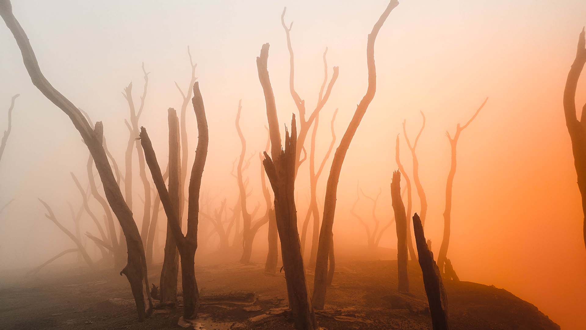
Intense colours at night as the eruption picks up
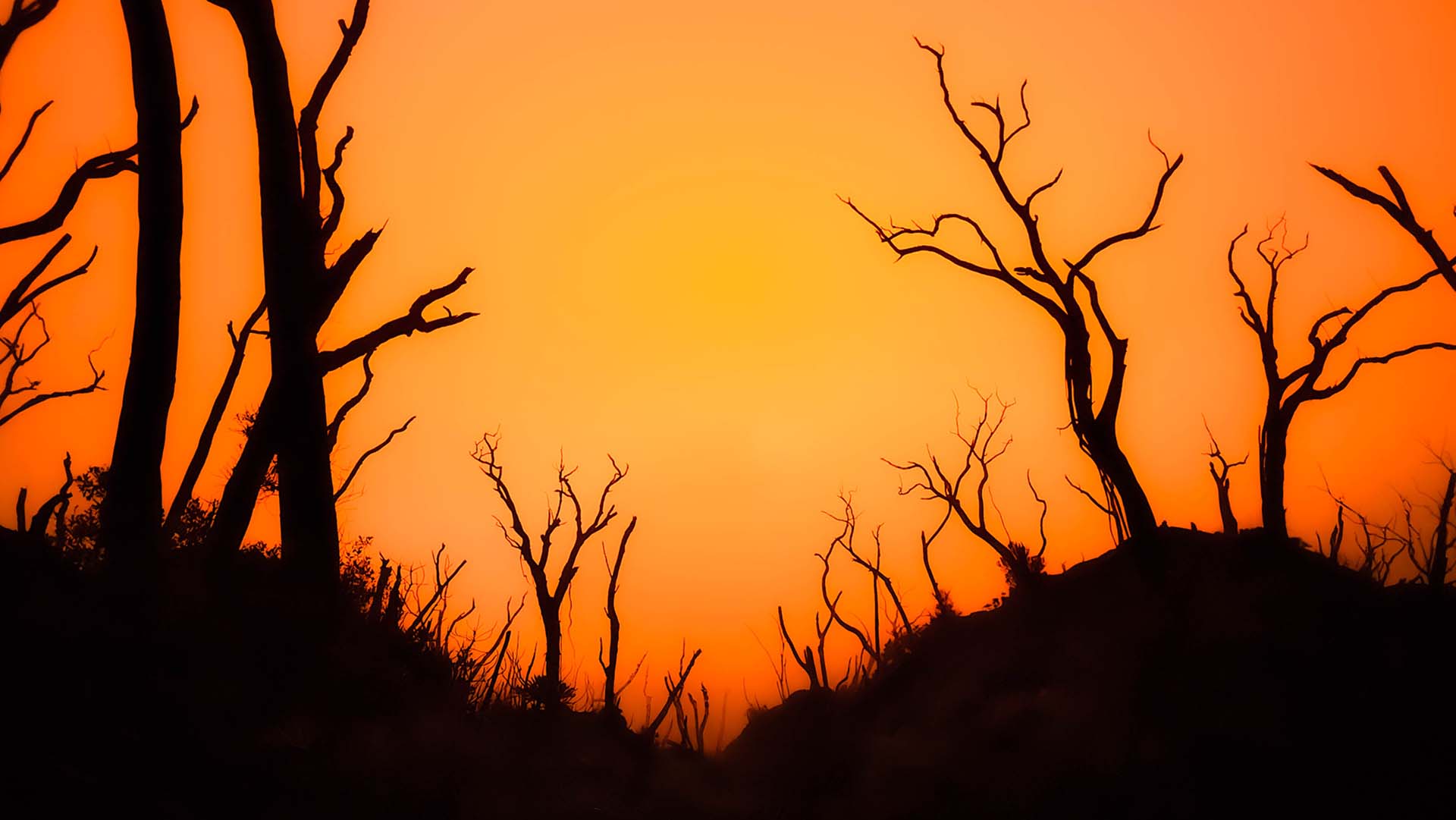
Strong water vapour emissions were coming from the southwestern corner, the furthest point from the active lava, which suggested water might still be present there. When we were finally able to get eyes on that area, we found a small amount of water still flowing just beneath the surface, up against the inner tephra ring, with thick vapour clouds forming where the water met the lava on the Voui side.
With Lake Voui mostly gone, its basin now appears to sit below Lake Gesa’s level. Given that the remaining water was moving near the lowest point of the inner tephra ring, we hypothesised that it may be seeping out of Gesa, passing under the tephra ring and into the former Voui basin, where it meets the lava.
Gesa’s own level was relatively low, though still apparently high enough relative to the Voui basin to drive that seepage. If we are right, part of Lake Gesa’s water may now be under threat too.
There is a second, more direct risk. If effusion continues at this rate, lava could breach or overtop the heavily eroded inner tephra ring, which would put it in the direct path of Lake Gesa. Time will tell.
With both Voui lakes gone, the system on Ambae is entering a genuinely different phase.
The Vanuatu Geohazards Department has noted in its latest bulletin that the volcano’s characteristics are becoming increasingly comparable to Yasur on Tanna Island as it moves into a new dry eruptive style.
“Lava flows and tephra deposits have progressively filled the Voui Crater, resulting in the growth of the volcanic cone and the disappearance of the lake inside Voui crater. These changes in Voui crater could influence the behaviour of the ongoing volcanic activity at Ambae, with its characteristics becoming increasingly comparable to those observed at Yasur Volcano on Tanna Island, where persistent explosive activity, continuous volcanic degassing, and ash emissions occur from the active crater.”
Frequent, strombolian eruptions
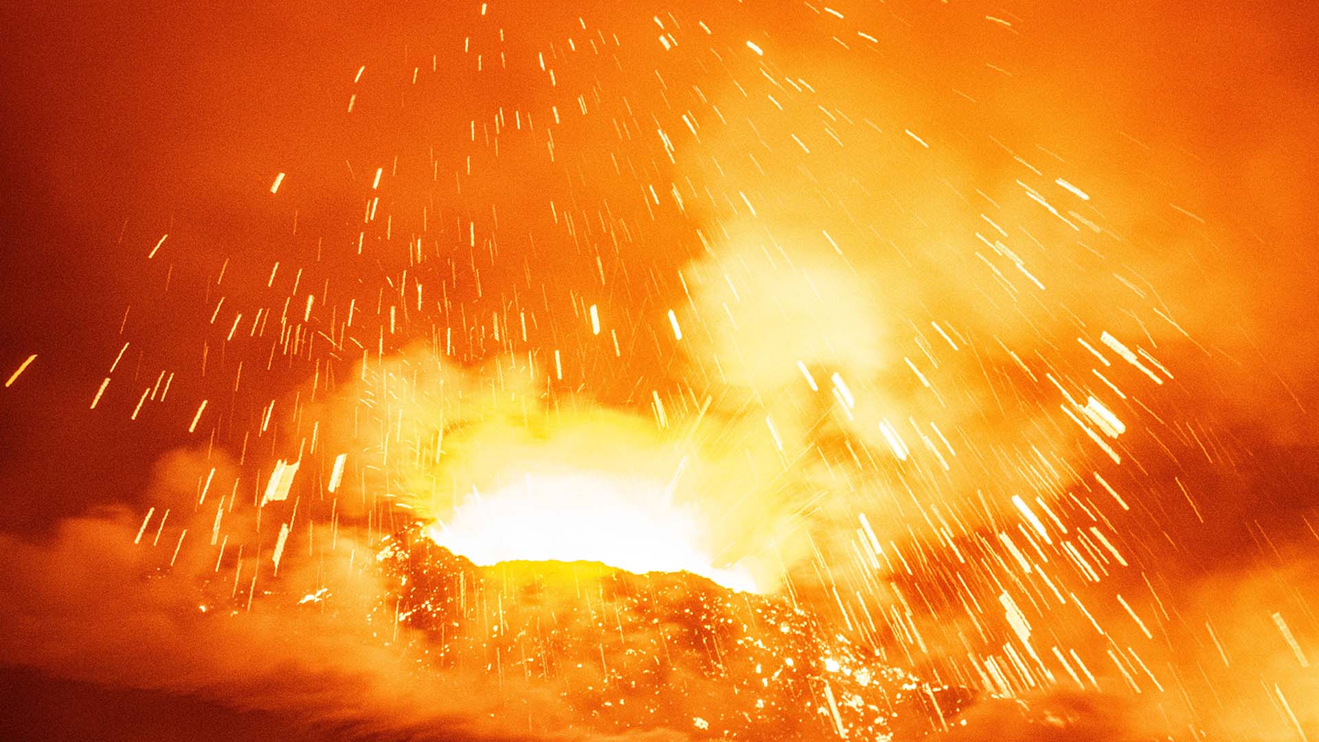
That shift matters for more than just the style of the eruption. Lake Voui used to work as a massive hydrothermal sponge, absorbing large quantities of magmatic gases such as sulfur dioxide and hydrogen chloride before they reached the atmosphere. It also provided the water for the phreatomagmatic explosions that made the 2017–2018 crisis so destructive, when ashfall and acid rain contaminated water supplies and food gardens and eventually forced the evacuation of the entire island.
Without millions of cubic metres of water sitting in the crater to trap and neutralise them, those acidic gases now vent straight into the open air. For a volcano with populated flanks and a long history of acid rain damage, that is a change worth watching closely.
It is also worth considering that the lakes could return. Ambae sits in the wet tropics and the summit collects a serious amount of rain. The only reason the basin is dry is that lava is currently arriving faster than water can accumulate, and every drop that reaches the flow front is flashed straight back to vapour. Once effusion slows or stops, that balance could flip with rain will starting to pond in the lowest parts of the basin.
Lava flows from above
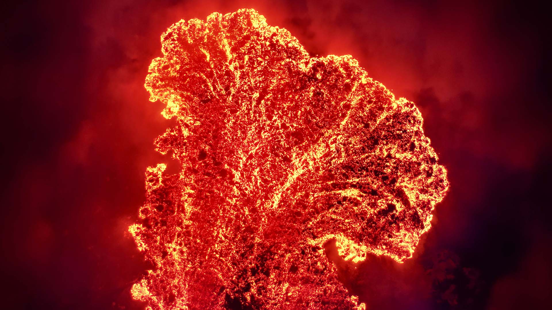
Ambae has spent some time as a crater lake volcano, defined by the interaction between magma and water. As of now, it is not that volcano any more. It is an open, degassing, lava-producing cone sitting in a dry basin, and it is building itself back up at a rate that has already made the crater unrecognisable from the one we observed during our last visit.
Incredible eruption producing multiple lava flows
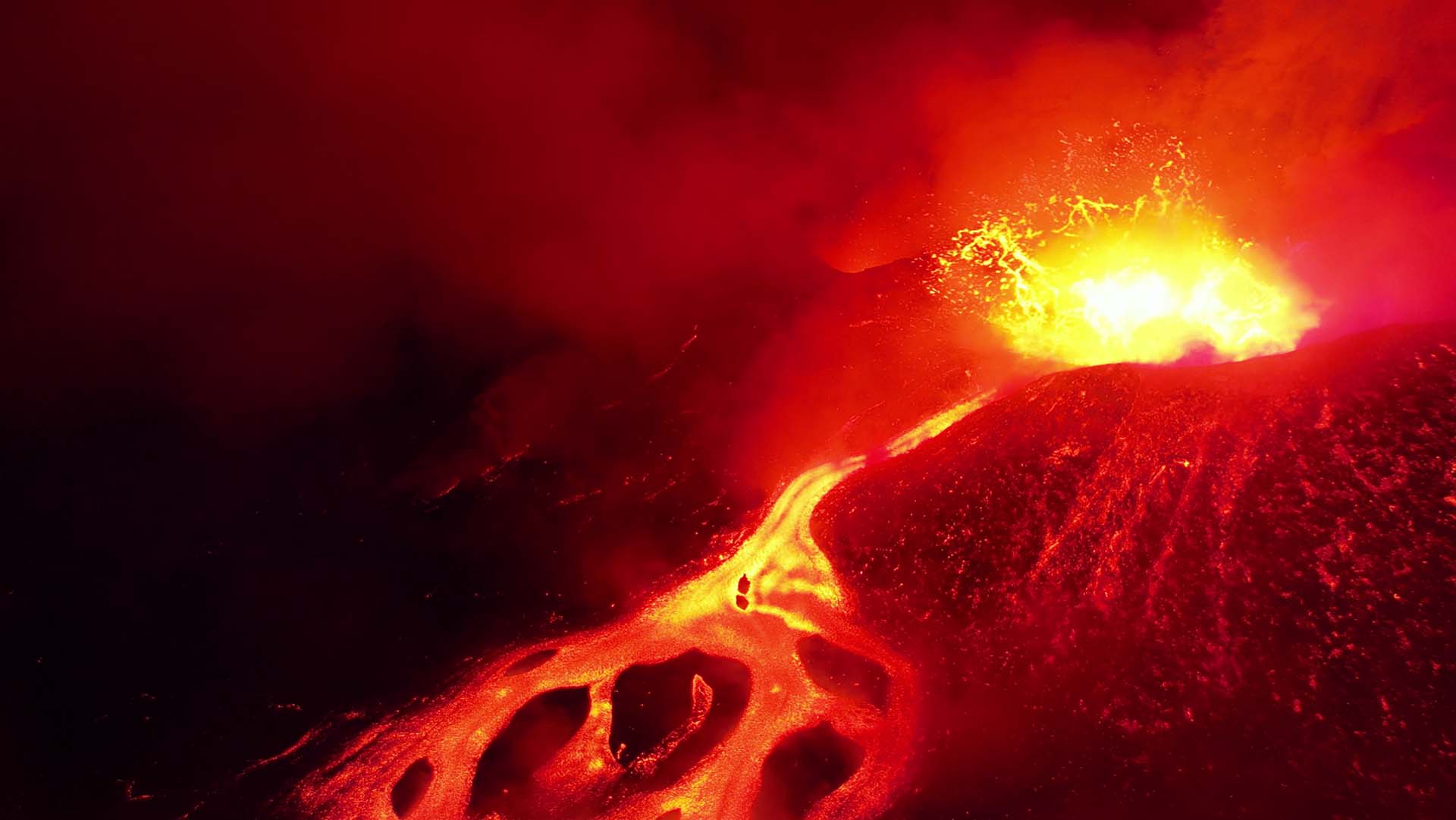
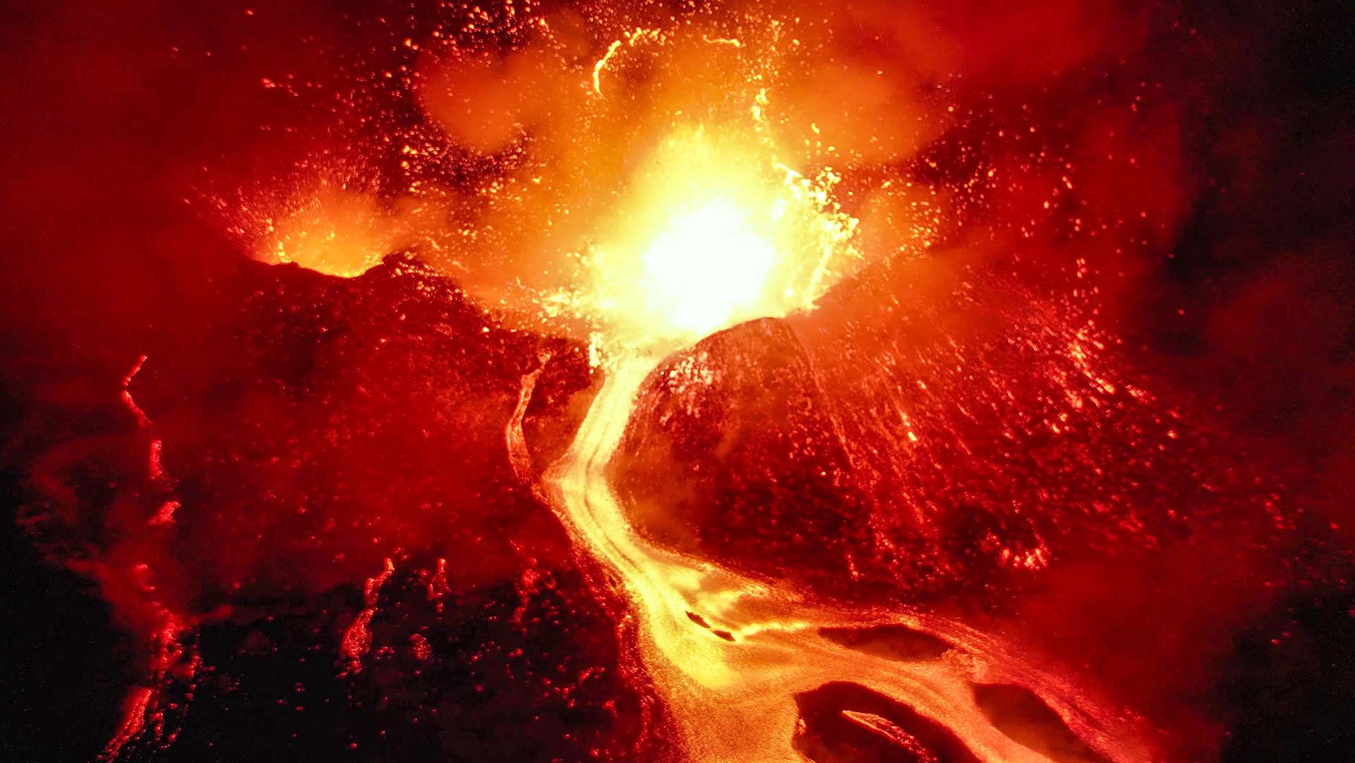
Everything above is our own field observation from a single visit to a system that is changing week to week, and it is not official guidance. Always refer to VMGD for official information, current activity, danger zones and alert levels.